Visualizing unmapped territories
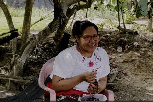
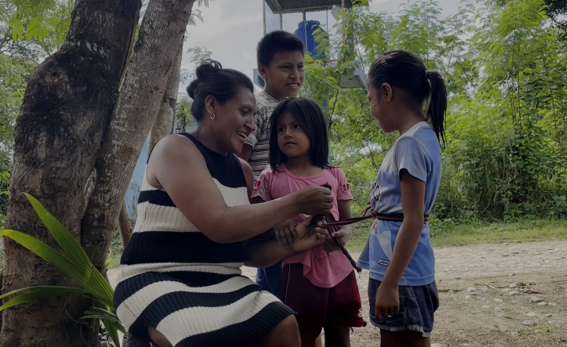
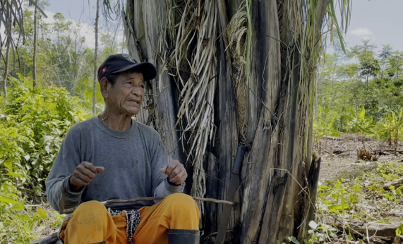
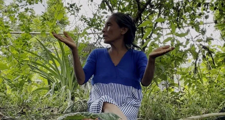
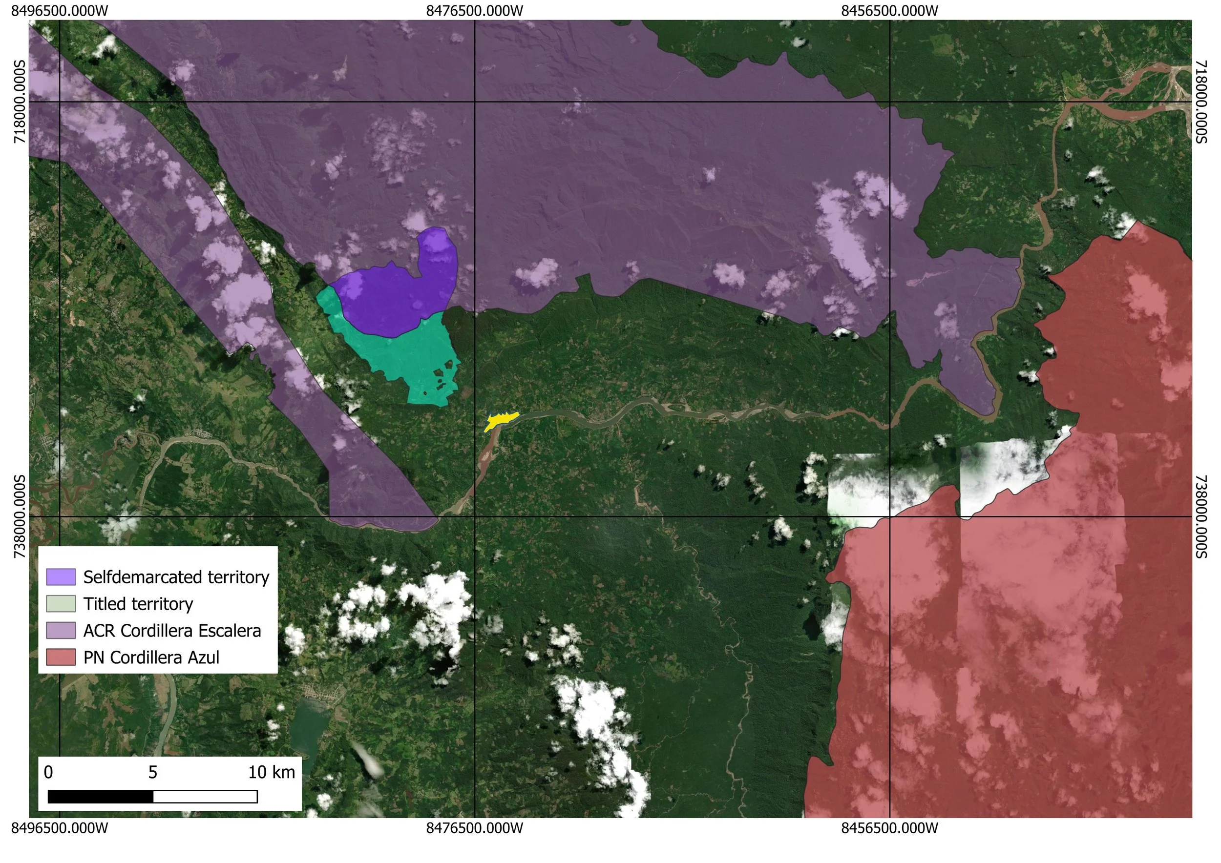
Video can visualize what a map sometimes cannot transmit. In the Fall of 2025, SFS students Dahlia Miller & Dakota Wilson made a beautiful video with the native community of Alto Chazuta Yacu in the Peruvian Amazon under my supervision. It is now available online: https://youtu.be/mR7INOWEzKM. This video shows why community members engage in countermapping to visualise and defend their ancestral territory. The imposition of a nature conservation area over their communal land as visible in public maps, invisibilizes their historical and continued presence and walking through the territory. The video’s message is that: “A people without a territory, will stop being a people in time”. This motivates a Kichwa community to self-demarcate their territory.
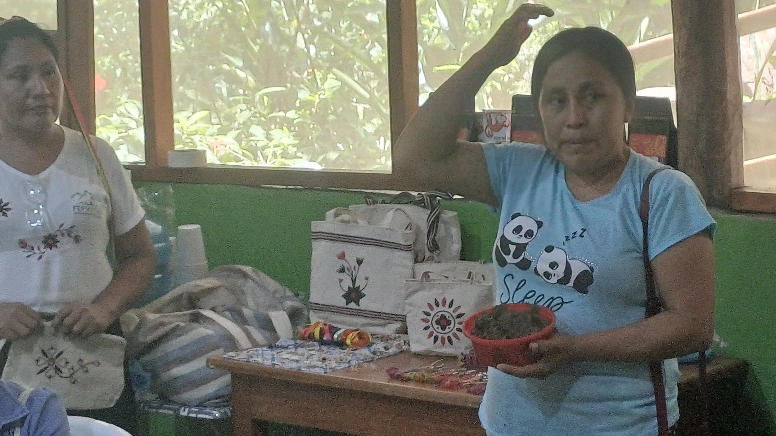
Whilst Kichwa people walk through patches of the Peruvian Amazon they show their intimate connections with and care for local flora and fauna in the territory in which they live. Artisan Rosa remembers how her father taught her the wealth of tree seeds (huayruro) with which she now makes charming jewelry. She disagrees with the fact that she now has to ask permission to a park ranger. Her sister Puri recalls how their good father would tie his four daughters together with a colorful woven belt to carry them safely over the river. Juan remembers climbing and descending mountains with his family elders to reach the salt mine and the freedom to produce agroforestry crops in this area without being judged. But the salt mine now lies in the conservation area, which they . Jorgelina shows us the local medicinal plants that she uses to cure people. Can she not profess this calling? The video highlights the emotional and historical connection and care that motivates this native community to fight for their communal territory and engage in countermapping efforts.
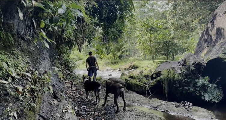
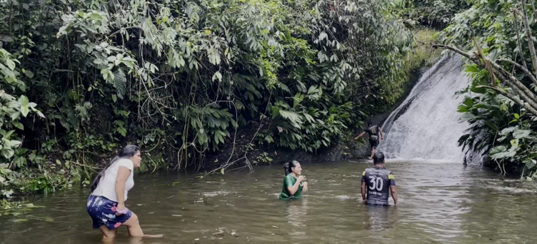
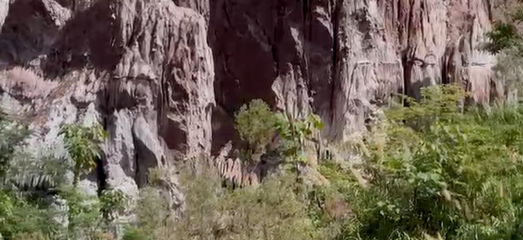
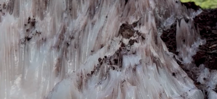
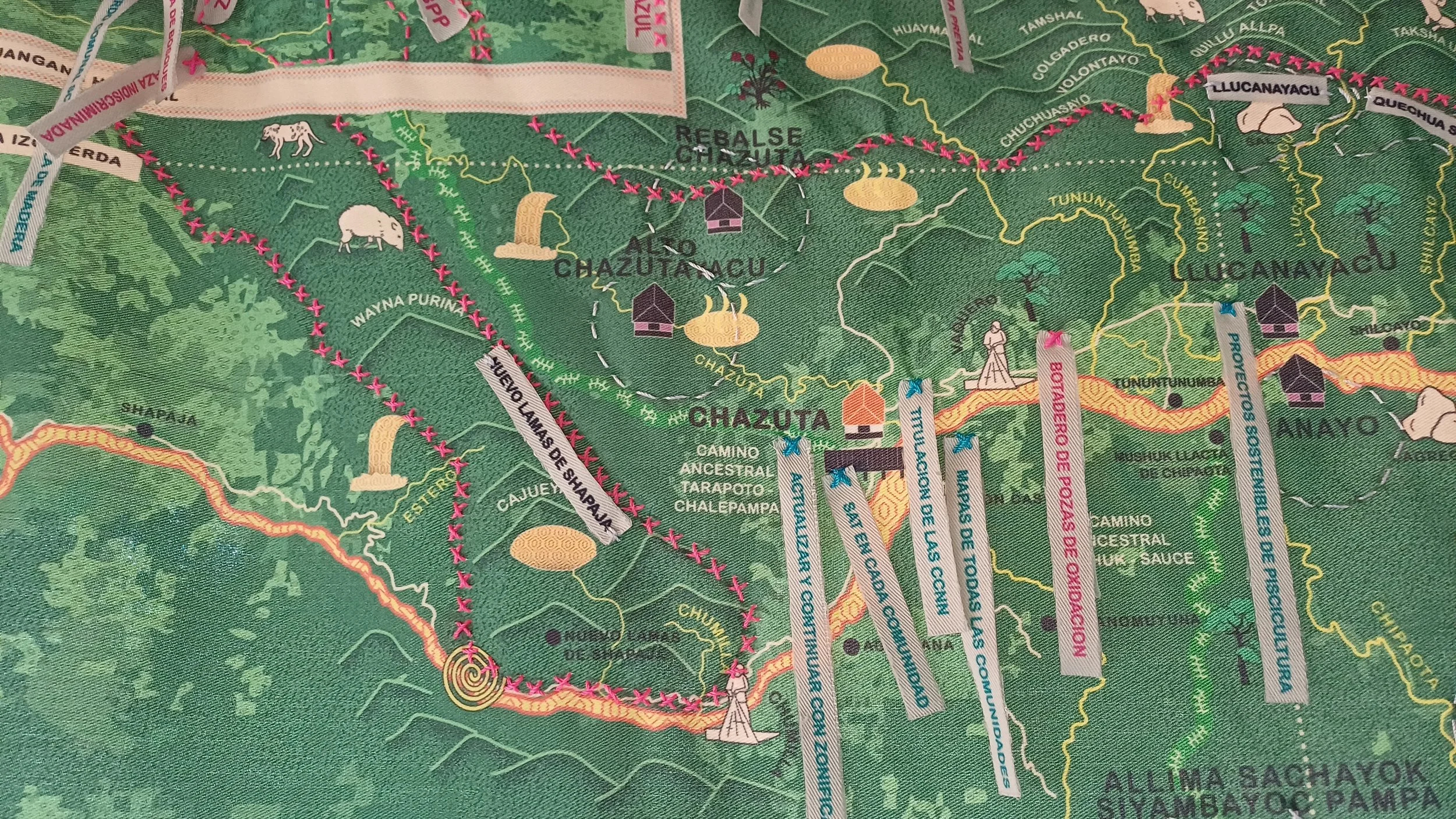
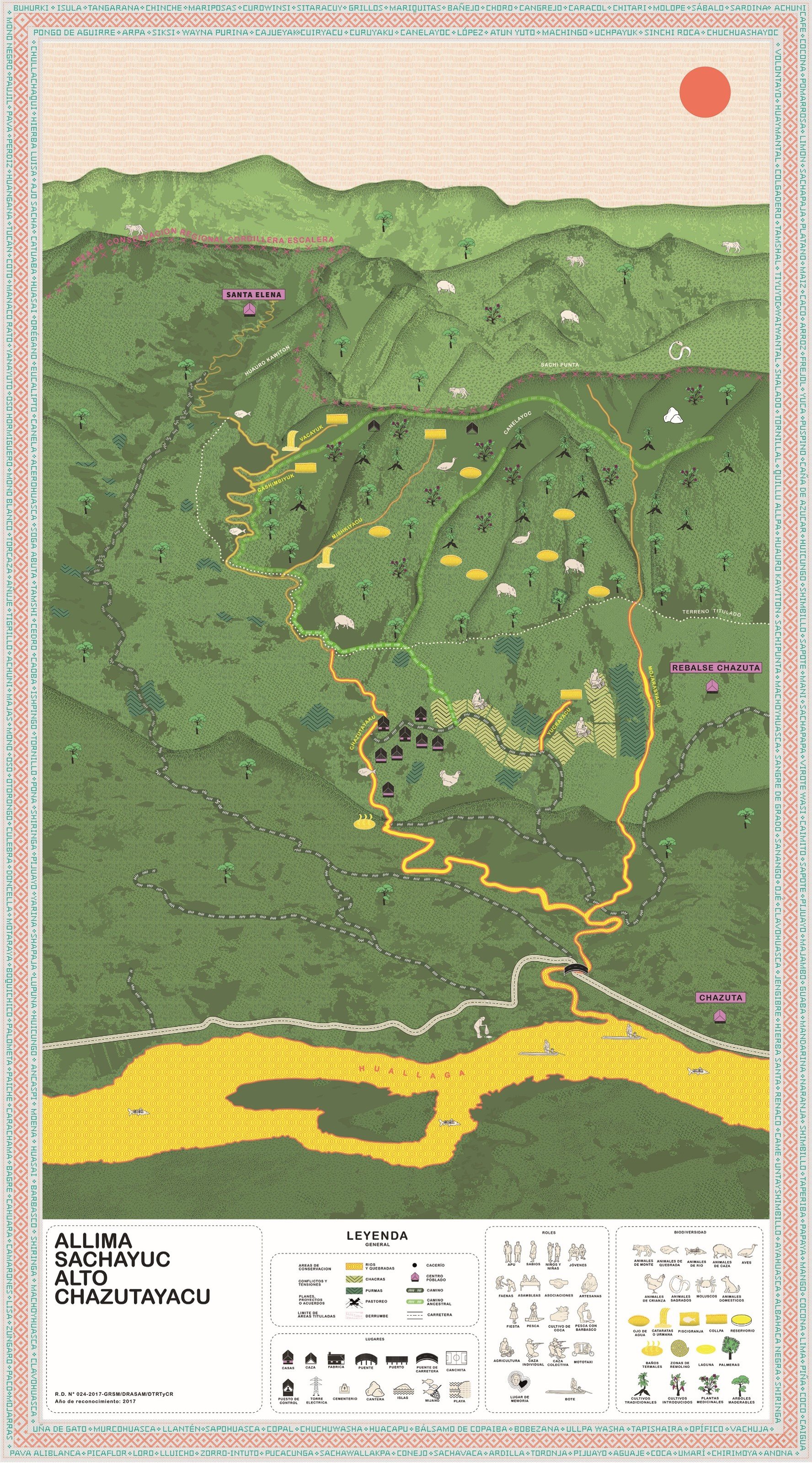
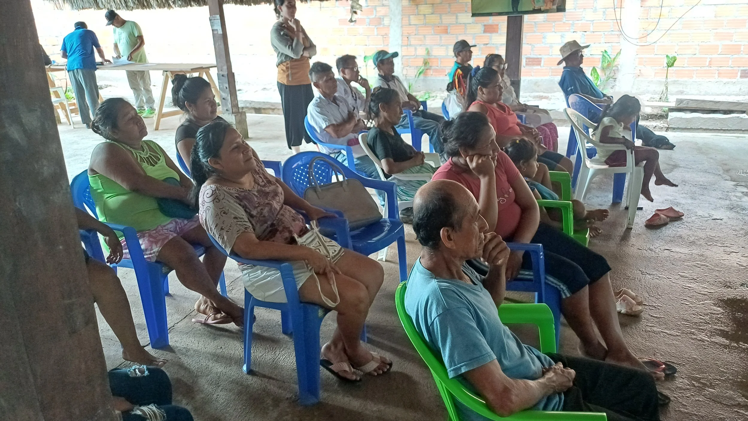
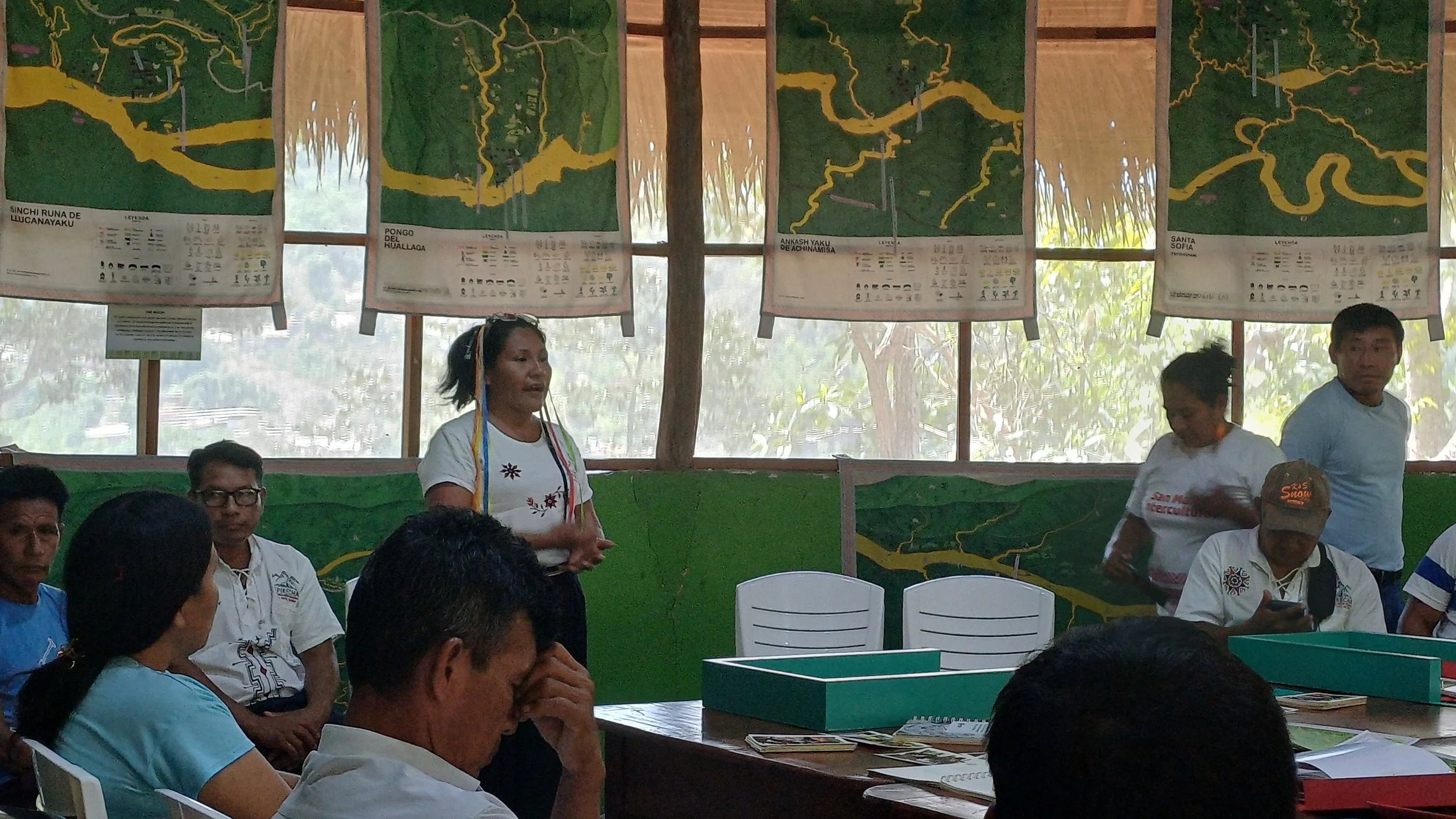
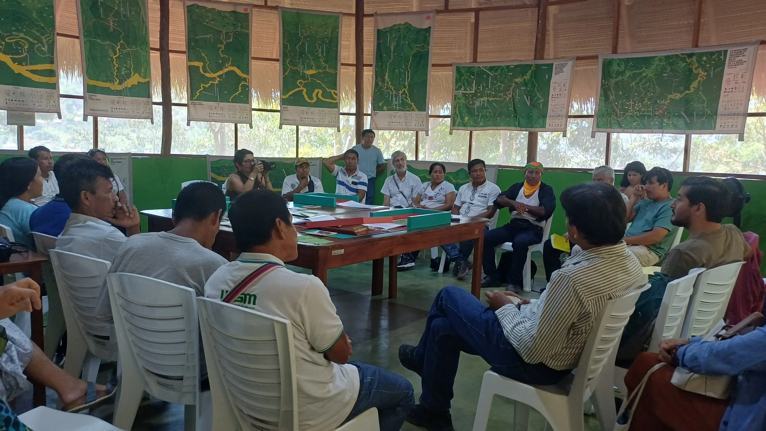
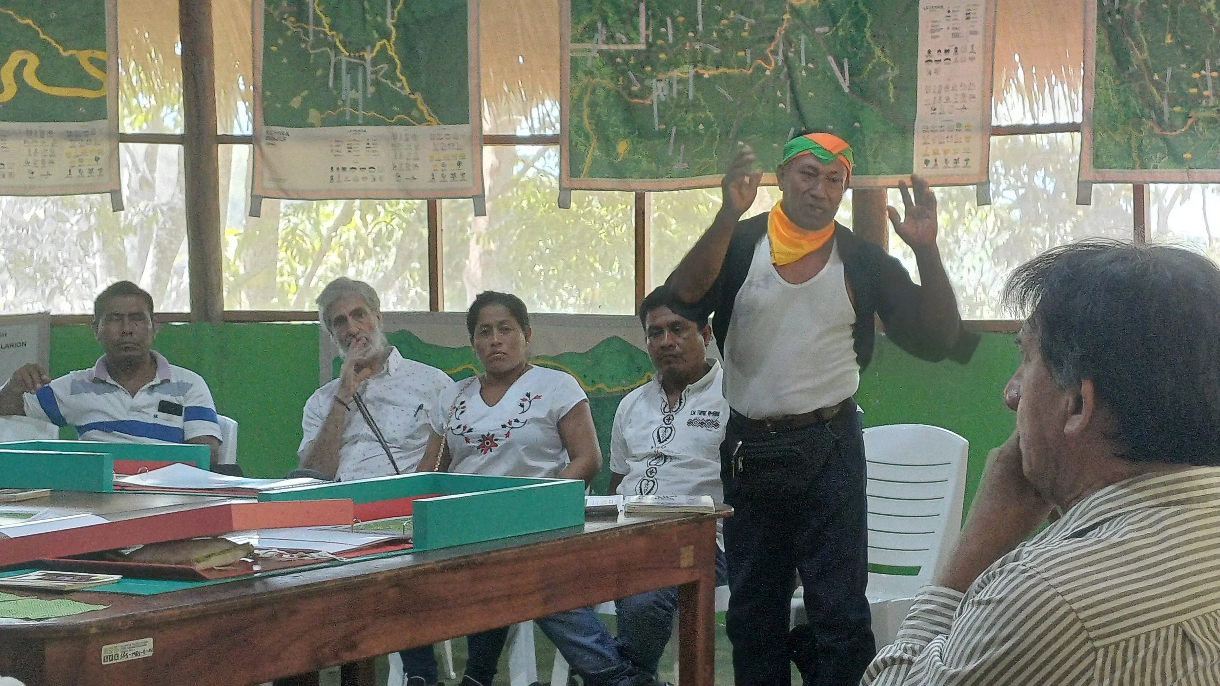
The video builds on the project “El ‘Buen Mapeo Kichwa’ (good Kichwa mapping) of the Pontificia Catholic University of Peru (PUCP), which cocreated maps with Amazonian communities to visualize their perspective on their own territory, combining their local knowledge with digital mapping techniques. These maps include native knowledge of what is otherwise omitted in state maps: ancient place names in Kichwa language, animal species, medicinal plants, water springs, agroforestry practices, spiritual places, cultural festivities, but also ongoing deforestation, territorial - and mining conflicts. Recently, the PUCP organized a final project meeting, hosted at our SFS-Peru campus (Centro de Estudios Amazónicos de SFS) in Tarapoto, to present these collaborative maps to the Kichwa communities and federations who welcomed the work as useful for their internal education and constructive dialogue with the state. The project also draws on the work of the Forest Peoples Programme on self-demarcation.